

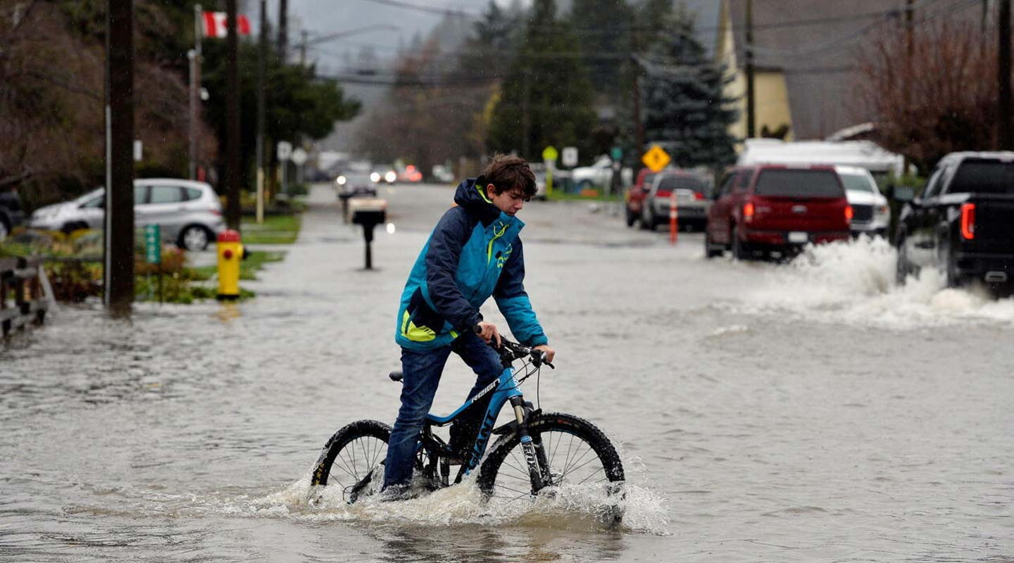
British Columbia’s south coast spent much of this week watching rivers climb. Communities from Vancouver Island to the Sea-to-Sky corridor dealt with evacuation orders, closed roads and flood warnings. A string of fall storms and atmospheric rivers brought heavy rain, raised river levels and triggered evacuation alerts in parts of Squamish and Pemberton.
A week that started stormy
The trouble began over the weekend. Multiple stormy systems brought heavy rain and strong winds, which caused ferry cancellations and a landslide. The Weather Network warned that the worst was still to come. Some areas could see 100 to 300 millimetres or more, with western Vancouver Island and the North Shore bracing for the heaviest totals.
The northwest coast of Vancouver Island was hit first. Last Friday, the Village of Zeballos ordered 10 properties evacuated and put 13 more on alert because of landslide risks.
Pemberton in the spotlight
Pemberton became the centre of the emergency by mid-week. On Wednesday afternoon, the village ordered an evacuation of properties on Airport Road, citing flooding and high-risk river levels. The area includes the community’s airport, wastewater treatment facility, wildland fire management base and a public golf course. The order was blunt. It cited immediate danger to life safety and told everyone in the area to leave immediately.
First Nations communities were also affected. Lil’wat Nation expanded an evacuation order and alert for the area from Kwetsa7 along the Lillooet River corridor to Lillooet Lake. By Thursday morning, the nation had upgraded an alert to an order, citing exceptionally high flows on the Green River near Pemberton.
Travel was disrupted as well. A section of Highway 99 east of Pemberton was closed because of flooding. Officials were openly worried about the valley’s river network. One local official noted that three rivers run through Pemberton and all of them had seen increased flows.
Warnings across the region
The province’s forecasters escalated their alerts as the rain continued. The River Forecast Centre upgraded to a flood warning for the South Coast, including the Howe Sound, Sea-to-Sky and North Shore mountains regions, and for the Pemberton Valley and Kingcome River. By Thursday, a flood watch also covered the entire Central Coast, and the entire Village of Pemberton was under an evacuation alert.
The storms also cut power. On Wednesday, nearly 13,000 customers were without power provincewide, with the South Coast and North Central Interior hardest hit.
Concern then moved from rivers to the shoreline. Environment Canada issued a coastal flooding statement for low-lying and exposed sections of Metro Vancouver, the Southern Gulf Islands and parts of Greater Victoria. The forecast also offered some relief. The District of Squamish said meteorologists expected a weakening atmospheric river and lower rainfall through Friday evening, with more rain forecast from Saturday evening through Sunday.
Easing, but not over
By Friday, the worst had passed for many. The Canadian Press reported that rains had eased for most of the province, including Metro Vancouver, after more than 300 mm fell in 48 hours. The same report said the main areas affected were parts of Vancouver Island, Squamish and Pemberton, with some localized evacuation orders and road closures. In Pemberton, flooding eased, but the village-wide evacuation alert and shelter-in-place advisory remained in effect. Officials urged residents to avoid flooded areas and follow road closures. Pemberton’s evacuation notice was just as direct: residents were told not to delay leaving to protect belongings or finish sandbagging.
Echoes of 2021
The timing has revived memories of the November 2021 disaster. That event was B.C.’s costliest severe weather event, causing almost $700 million in insured damage. This year’s flooding began about a week earlier than the 2021 event, which passed its fifth anniversary on Thursday.
Public readiness remains a worry. A survey cited in the same coverage found that 70 per cent of British Columbians are concerned about severe rainfall and flooding, yet only 36 per cent believe they are prepared for a weather-related emergency, and just 43 per cent know the evacuation routes in their area.
What residents should do
With more rain in the forecast for the weekend, local governments are asking people to stay alert. Residents in affected areas should check official notices and DriveBC before travelling, and keep an emergency plan and go-bag ready. They should also treat an evacuation alert as the time to prepare, not to wait. Weather experts add that warm temperatures can speed snowmelt at higher elevations, which can keep river levels elevated even after the rain eases.
For now, the immediate danger has eased across much of the south coast. The weekend forecast leaves little room for complacency in the Sea-to-Sky corridor.



0 Comments